

Homeowners living in affected areas have been sent information about proposed changes to road networks in the north of the island.
The planned changes include the creation of a new scheme called 'Ruettes des Habitants' along with proposals for new footpaths, cycle lanes, one way systems for cars, and changes to bus routes, schedules and the introduction of more bus shelters.
Other proposals in the 'Better Transport Plan' for the north of the island include junction improvements, widening some roads, improved signage, travel apps and car clubs.
The Plan has been put together by the Committee for the Environment and Infrastructure to address existing problems, and concerns raised about future transport needs in the north of the island.
E&I says the Plan "sets out how improvements to transport infrastructure and better transport choices will be delivered over time, alongside new housing developments in the north of Guernsey".
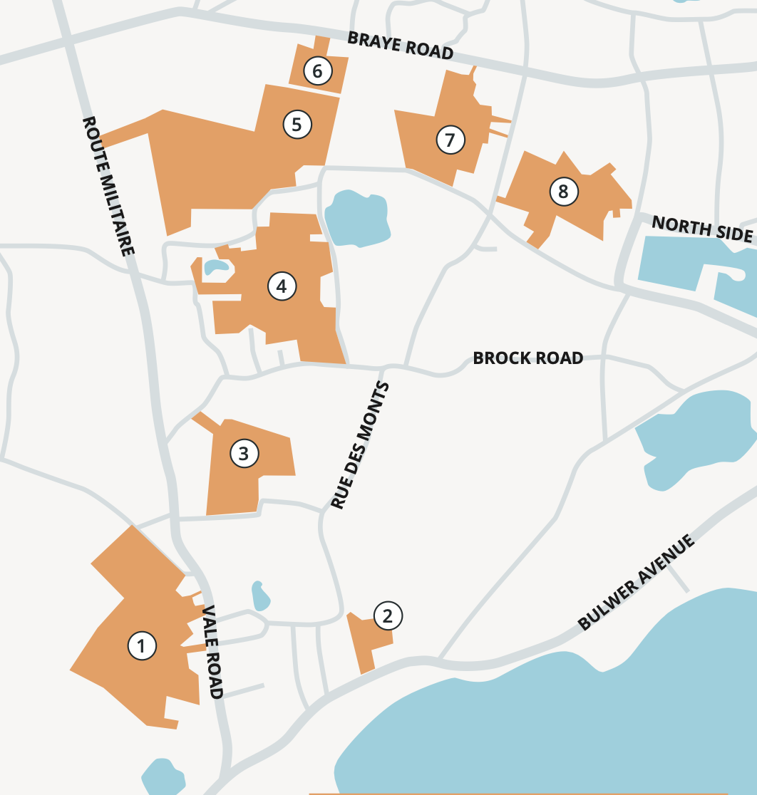
A number of new developments - with a combined total or more than 1,000 news homes, plus some retail, leisure, and commercial sites - are earmarked for the north of Guernsey, in particular in areas around and near the Bridge and Route Militaire.
E&I says those developments come with "very reasonable concerns for current residents in the north about the additional pressure increased housing will have on the area’s road infrastructure, which is already under strain".
The Committee says its Better Transport Plan "will pave the way for a wider and better range of transport choices, so that people living and working in the area have more options for the different kinds of journeys they may want to make at different times – whether that is by car, bus, bike, or foot".

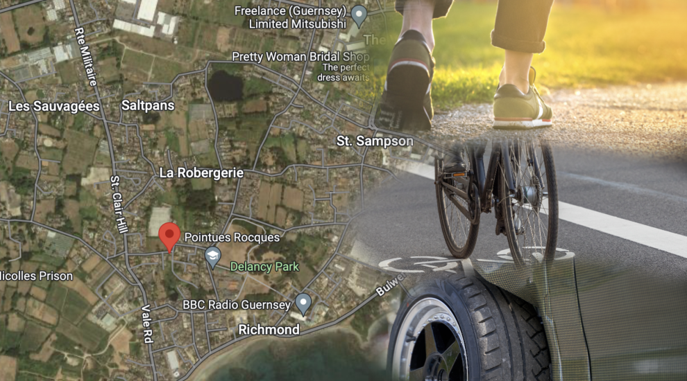
Pictured: The above planned developments have led to growing concerns about the transport network in the north of the island.
Ultimately E&I hopes that St Sampsons in particular will benefit from "a coherent network of linked walking and cycling routes through, within and around development sites to make travelling by foot and by bike easier, safer, and more convenient".
Another outcome E&I is hoping to achieve will be "the better provision of public transport, plus more innovative options such as car clubs as well".
The committee also says that all of the proposed changes will result in making driving easier too.
The Plan itself will be delivered by various bodies including the States, landowners and developers, and private providers.
LEAFLETS: A postal drop on Monday saw information delivered directly to households whose roads will be changing in some way.
INTERACTIVE MAP: An interactive map showing the proposed changes at the various locations can be accessed HERE.
A - Z: All of the proposed changes are listed HERE.
PUBLIC CONSULTATION: Members of the public can have their say on the proposed Better Transport Plan by email or post before 30 June, 2024.

DOUZAINE DROP-IN: St Sampson's Douzaine will be holding drop-in sessions at the Douzaine Room over the consultation period where information boards can be viewed and comments can be received. Details of these will be available shortly.
Feedback is also welcome from parishioners by email, letter, or telephone once they have viewed the plans online.
The Douzaine plans to provide feedback to Traffic & Highways after the consultation period ends on 30 June and a further media statement will be made at that time.
CONTRIBUTE TO OUR COVERAGE: Comment below, on our social media accounts, or email us HERE to tell us what you think about the Better Transport Plan.
THS claims further successes with transport strategy
Deputies to meet campaigners over Pointues Rocques development
Does Guernsey have a car problem?
Comments
Comments on this story express the views of the commentator only, not Bailiwick Publishing. We are unable to guarantee the accuracy of any of those comments.