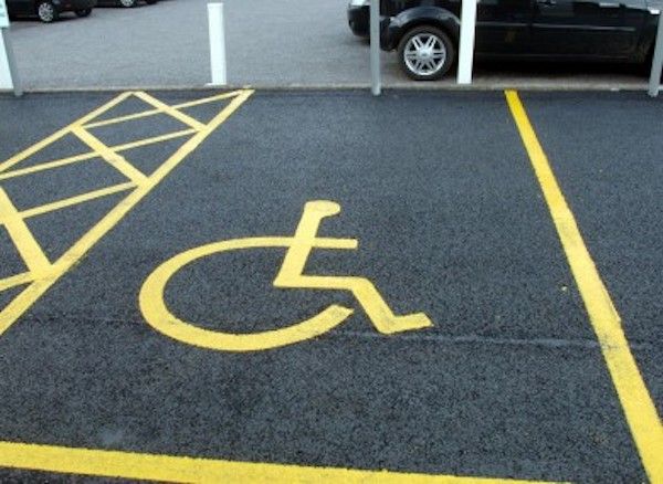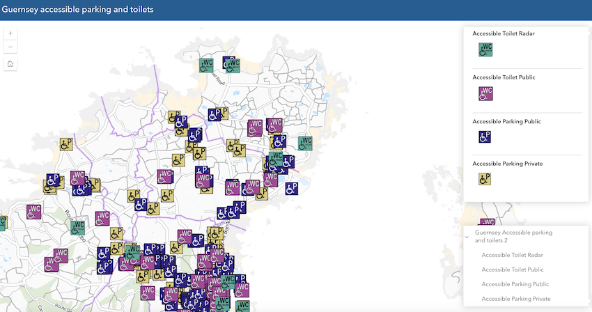


An online map showing the locations of blue badge spaces, public toilets and other accessible facilities has been launched.
It was developed in collaboration by the States Disability Officer and Guernsey Digimap Services, with input from Traffic and Highway Services and Guernsey Ports.
Information is being added in phases, with the first of those featuring public parking, medical centres and supermarkets. It also includes the locations of the accessible public toilets and indicates if radar keys are needed to access these.

Pictured: The States latest addition to Digimap can be found through the links below.
Gill Evans, the States Disability Officer, said: "Information about where to find different facilities is particularly important for people with a disability. The location of parking spaces and toilets is key information that people need to know when planning their trips.
"Some information is already available on the AccessAble access guide, but having the locations available on this map will complement that information."
The map can be found online via the States Website or through Digimap.
Comments
Comments on this story express the views of the commentator only, not Bailiwick Publishing. We are unable to guarantee the accuracy of any of those comments.