Select a region


New cycling infrastructure looms large in the proposed Better Transport Plan for the north - with additional lanes and contraflows suggested.
A number of roads near and around the Bridge and Route Militaire could have changes made to make room for cycling lanes, while additional contraflows could be created near St Sampson's High School and other busy areas.
The Plan published earlier this month includes other suggestions too - all intended to offer more choice to residents, says Environment and Infrastructure.
The committee says the Plan will enable more people to cycle and walk on currently busy roads, while still enabling car drivers to navigate their way around too.
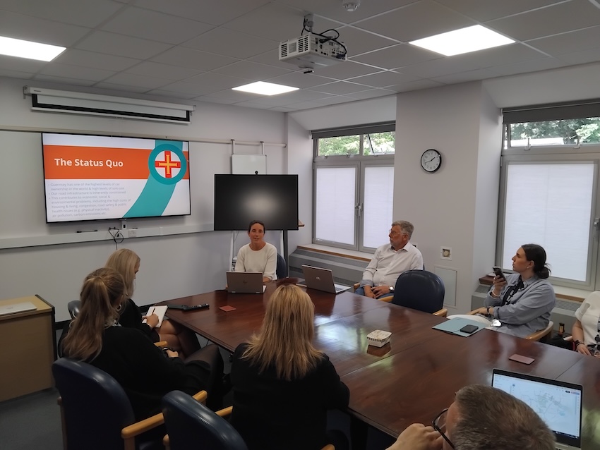
Pictured (l-r): Deputies Lindsay de Sausmarez and Adrian Gabriel presenting the Better Transport Plan to the media last week.
The Plan has been put together in anticipation of more than 1,000 new homes being built, mainly in St Sampson's over the coming years.
E&I President, Deputy Lindsay de Sausmarez said overall the plan is about creating choices.
"We know that choice is important because people don't feel as though they really have it at the moment," she said. "I know more than one household or family that lives in the vicinity of Delancey and doesn't feel as though it's safe enough to walk with small children to the park. And they don't feel as though they've got that choice.
"We know from every survey that we've ever done because people tell us very, very clearly that they would like to be able to make some active choices about how they get from A to B depending on what their journey needs. So sometimes it's going to be you know, a car journey that's going to be the most sensible option for them but actually sometimes especially for shorter journeys they would like to hop on a bike perhaps or just walk or maybe use a bus. But we know there are barriers in the way to that. And that's really what this package of measures is about. It's about giving people more choice."
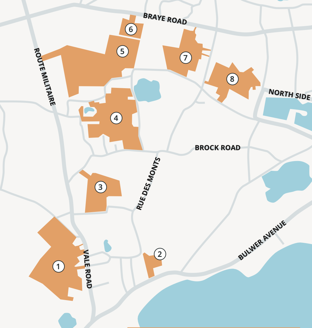
Pictured: The above planned developments have led to growing concerns about the transport network in the north of the island.
One of the ways E&I wants to offer residents in St Sampson's most congested areas more choice is by creating new cycling infrastructure.
This includes proposed cycling contraflows at Commercial Road on the Bridge, Lowlands Road, New Road, and Les Sauvagees. Cycle lanes could be created either side of the Bridge at Northside and South Quay.
The new housing developments likely to be built in nearby areas will also include pedestrian and cycle links with roads where possible.
E&I says some of the proposals under the Plan will be paid for out of the committee's existing budget while developers will be asked to foot the bill when it comes to creating new infrastructure for pedestrians and cyclists as part of their building work.
"The area is going to be impacted by the developments that are going to be coming forward and if we just sat back and did nothing, we know that those impacts would be really overwhelmingly negative," explained Deputy de Sausmarez, "so we wanted to be proactive and do something in advance and alongside those developments to make sure that infrastructure is an iterative thing."
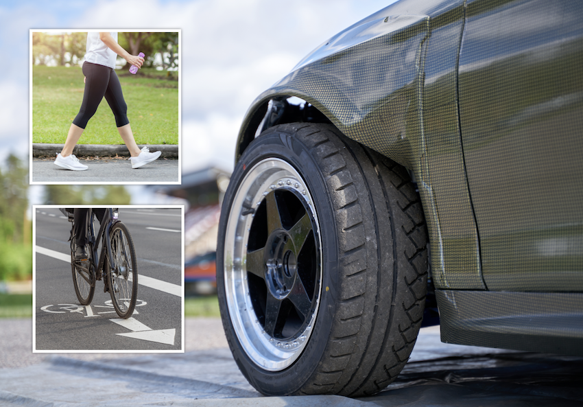
Pictured: E&I said the proposals will improve travel choices for everyone.
Where the creation of new cycling lanes will affect current residents - eg on New Road near the Bridge - E&I says it wants to speak to people first before making any chances.
It's proposed that a short contraflow be created between the junctions with Roland Road and Brock Road on New Road. This is the section of road directly outside a tattoo parlour and opposite a pub. There is currently room for around three vehicles to park there in short term spaces.
E&I said there will be some public engagement around the removal of those parking spaces before it happens.
Similarly, public parking spaces could be lost on Northside and South Quay if new cycle lanes are created.
E&I wants to put a cycle lane between the Bridge and Trafalgar Road on Northside, and between the Bridge and Church Road on South Quay.
Public parking in both areas could be relocated with the committee saying there will be public consultation before any changes are made, "if a scheme proves feasible".
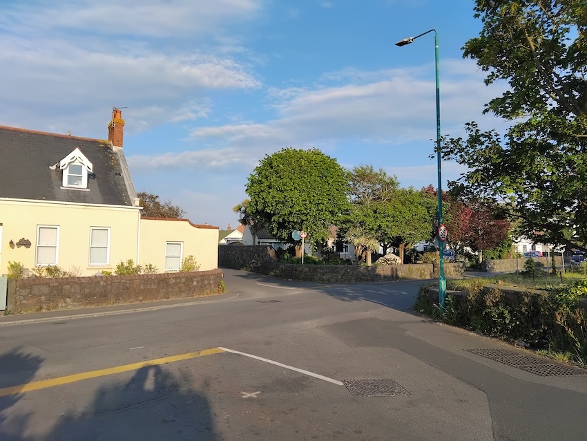
Pictured: This junction could be subject to safety improvements under the Better Transport Plan.
Nearer St Sampson's High School, the one way system could be extended with an additional cycling contraflow lane created.
The road in question is Les Sauvagees - currently two way, leading from Oatlands Lane towards the junction with Route Militaire, almost opposite the Saltpans junction.
E&I is proposing making Les Sauvagees one way easterly, towards the Route Militaire junction, with a cycling contraflow linking up with the existing infrastructure in the area.
All of the proposals in the Better Transport Plan are detailed in an A-Z HERE and an interactive map showing the proposed changes at the various locations can be accessed HERE.
WATCH: Transport plan for the north launched
E&I: Plan will "improve choices and experience"
EXPLAINED: How a Ruette des Habitants will affect you
"Sensible, balanced solutions" are needed


Comments
Comments on this story express the views of the commentator only, not Bailiwick Publishing. We are unable to guarantee the accuracy of any of those comments.