Select a region


A deputy has suggested that the zoning of the Pointues Rocques site as housing under the Island Development Plan is “not correct”.
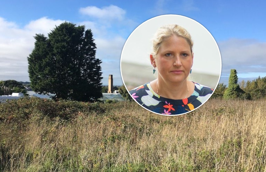
Deputy Adrian Gabriel, who has consistently opposed development of the site for large-scale housing, made a verbal representation at an open planning meeting yesterday.
But Deputy Gabriel said that measures suggested to lessen the impact of traffic pressure around the site “will remain insufficient to create a safe, workable option”.
“A high percentage of representations were on traffic grounds which I believe weren’t adequately addressed,” said Deputy Gabriel.
He accepted that the agreed conditions “are trying to help the development” but told Express he was disappointed that a committee he sits on, Environment & Infrastructure, will now be left to resolve some of the problems arising from the development on behalf of the applicant.
He claimed that only significant measures will ensure the surrounding roads remain safe: “Not just painted walkways, certain streets being of a prohibited nature to through traffic or a few signs, but significant measures”.
“Primary school aged pupils should not have to walk along hedgerows and roadside banks to get to school. This is an already unacceptable situation, and this development will significantly exacerbate it.”
He also said the decision to zone the site for housing is “not correct”.
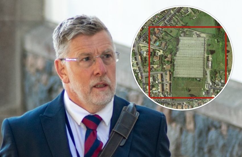
Pictured: The plans for 68 homes on the site were approved unanimously by the Development & Planning Authority yesterday. Its President, Deputy Victoria Oliver, said permission was granted with "a heavy heart".
Deputy Gabriel continued: “The site is bounded by two minor roads which are classed as neighbourhood roads, one of the lowest classifications of road type in Guernsey, appropriate for only low volumes of traffic.
“The [traffic impact assessment] states that that there is no road traffic collision data. But perhaps more importantly there is also no data that captures the near misses that so affect how safe people feel, and neither does it capture any of the instances in which people decide for fear of their safety not to walk along these roads.
“In the previous Les Ozouets hearing, [a Traffic and Highways Services official] mentioned that ARUP do not have local modelling data on filters - what other local knowledge aren’t they capturing?”
Deputy Gabriel agreed that planning officials have a “very difficult job”, but echoed concerns raised at the open planning meeting that the methodology used to predict future traffic movements is not adequate.
“There isn’t a calculational formula to put a Guernsey spin on it… [Traffic and Highway Services] did a very good job with the tools available to them but there should have been a caveat to the report that it has come from UK data,” he said.
“The data was limiting.”
Pointues Rocques development back on the cards


Comments
Comments on this story express the views of the commentator only, not Bailiwick Publishing. We are unable to guarantee the accuracy of any of those comments.